Ages: Colin was 68 years and 129 days. Rosemary was 65 years and 271 days.
Weather: Very heavy showers interspersed with bright
sunny intervals. Very windy but not
cold.
Location: Oban to Kilninver.
Distance: 11½ miles.
Total
distance: 2467½ miles.
Terrain: 99%
roads. Undulating.
Tide: Going out.
Rivers: No.296, Feochan Bheag.
Ferries: None.
Piers: None.
Kissing
gates: None.
Pubs: The Lorne Bar in Oban which we visited twice
on our rest days for lunch. Colin drank Oban Bay
‘Fair Puggled’ and Caledonian ‘Deuchars IPA’.
I had a shandy the first time and Strongbow cider the second.
‘Historic Scotland’
properties: None.
Ferris wheels: None.
Diversions: None.
How we got there and
back: We took two days to drive up from
Malvern towing our caravan, and based ourselves in Lochgilphead yesterday. This morning we drove to Kilninver and parked
on a grass verge at the junction of the road off to Seil and Easdale Island. We had intended catching the bus into Oban from
there, but Colin insisted we try to thumb a lift instead. A retired couple stopped because they thought
we had broken down! I don’t know how
pleased they were when they discovered we were hitching a free ride, but they
took us into Oban and dropped us at the bus station, close to where we finished
the last Walk.
At the end, we finished our
Walk by the car parked on the main road.
We had tea and caramel shortcake, then returned to our caravan in
Lochgilphead.
We started our Walk in the bus station area of Oban. We had good views across the harbour towards
the entrance and the town.

We walked
past the ferries to the Isles which were loading up, it was very busy
there.

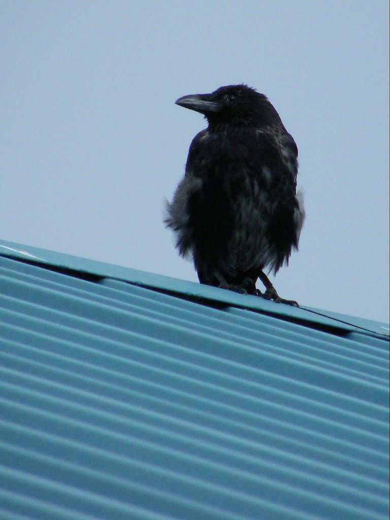
We started to take photographs
(Colin saw a raven on a roof) but it kept raining — torrential showers so we
had to keep putting the cameras away.
When the sun came out between the showers, it got too hot — it was a
crazy sort of day!

We followed the road which led along the lochside. It told us “Twenty’s Plenty” which is a speed
sign we’ve seen all over this part of Scotland. Quite right too, in these residential
areas. Why is everyone in such a hurry
these days? It was quieter along there,
with yachts moored in the loch.


We came to an area that appeared to be an open-cast coal mine which was
finished with. We were amazed and
horrified to see that a new housing estate had been built on top of and just
below what looked like a tip! There was
even a stream running down the middle of it.
Haven’t they heard of Aberfan?
And the terrible disaster which happened there in the autumn of
1966? (I was a newly qualified teacher
at the time, teaching a reception class in a primary school in Worcester.
When I heard what had happened at Aberfan, I kept looking at the windows
of my bright new classroom wondering what I would do if tons of slimy
coal-waste suddenly crashed through them, suffocating me and all the
children. It spooked me for weeks even
though I wasn’t anywhere near a coal mine!)
We couldn’t believe that houses had been built in what looked like a
very unstable situation. I wouldn’t have
a wink of sleep if I had to stay in such a house, especially during a
rainstorm.

We sat on the wall of a hotel entrance to eat our sarnies, then we
continued. There was a pavement for a
little way, after which it was ‘dodge-the-traffic’ once more. On with the high-vis vests and constant leaping
into the undergrowth — not much fun! We
climbed a big hill, then down the other side.
The road was very twisty, and it kept raining.


Eventually we came to our car parked at the road junction down into
Kilninver. There was a notice about the
stone-skimming championships to be held fairly soon on the nearby island of Easdale — more about that on the next
Walk.

That ended Walk no.261, we shall pick up Walk no.262
next time at the road junction leading into Kilninver. It was just gone half past four, so the Walk
had taken us five hours fifty minutes. We had our tea and caramel shortcake,
then returned to our caravan in Lochgilphead.

No comments:
Post a Comment