Weather: The rain stopped 10 minutes into the
Walk. It turned sunny, then there were
more clouds but no more rain. A cool
breeze.
Location: Ayr to Maidens.
Distance: 16 miles.
Total distance: 2757 miles.
Terrain: Long sandy beaches. A rocky beach which was tricky and slowed us down. Paths around fields and through woods. Through the formal gardens of a castle! And a little road-walking. Much of the Walk was flat, but some was undulating.
Tide: Out, then it came in.
Rivers: No.339, River Ayr. No. 340, River Doon.
Ferries: None.
Piers: None.
Kissing gates: No.230, no.231 and no.232 on the path through fields just out of Dunure.
Pubs: “West Kirk” (Weatherspoons) in Ayr — it is an old church, and the toilets are up behind the pulpit! We had lunch there on one of our ‘rest’ days. Colin drank Moorhouse’s “Old Boss”, and I had Erdinger Weissbier. “Glen Park Hotel” in Ayr. (Colin went by himself on a ‘rest’ day.) He drank “Leezie Lundie”, “Jolly Beggars” and “Towzie Tyke” — all Ayr brewery beers. “Wellington’s Bar” in Ayr where there is a large wellington boot outside on the pavement which we walked right by and didn’t see! We had a pub lunch there on another of our ‘rest’ days — Colin drank Strathaven “Old Mortality 80/-” and I drank Magner’s cider.
‘Historic Scotland’ properties: No.30. Crossraguel Abbey which we visited on another day.
Ferris wheels: None.
Diversions: None.
How we got there and back: We were staying in our caravan on a site in Ayr. This morning Colin drove to Maidens where he parked the car and caught a bus back to Ayr. Meanwhile I walked along the river to meet him at the bridge where we finished the last Walk.
At the end we walked across a playing field to the layby where the car was parked. After having our tea, we drove back to the caravan in Ayr.
 We crossed the bridge and walked down the south side
of the river to the sea. By the time we
got there the rain had stopped, and it remained fine for the rest of the
day. On the way we passed a section of
the old town wall — a ruined look-out tower looked pretty precarious to me! There were new flats built on the waterside
with “private gardens and walkways” so we had to walk a good bit along the
pavement in front of them with no views.
When we did catch a glimpse of the river we could see the “Port of Ayr” across the other side. There were some modern windmill blades piled
up on the quay — they were huge!
We crossed the bridge and walked down the south side
of the river to the sea. By the time we
got there the rain had stopped, and it remained fine for the rest of the
day. On the way we passed a section of
the old town wall — a ruined look-out tower looked pretty precarious to me! There were new flats built on the waterside
with “private gardens and walkways” so we had to walk a good bit along the
pavement in front of them with no views.
When we did catch a glimpse of the river we could see the “Port of Ayr” across the other side. There were some modern windmill blades piled
up on the quay — they were huge!

 As we neared the shore, we found there was a set of
steps next to a shop leading down to a footbridge over a channel. From there we were able to access South Pier
which we walked along to the harbour entrance.
A small ship in the dock looked as if it was preparing to leave, perhaps
waiting for the tide to get a bit higher.
As we neared the shore, we found there was a set of
steps next to a shop leading down to a footbridge over a channel. From there we were able to access South Pier
which we walked along to the harbour entrance.
A small ship in the dock looked as if it was preparing to leave, perhaps
waiting for the tide to get a bit higher.

 We walked back along the pier, and about halfway we
were able to climb down to a vast sandy beach.
Pity about the weather being so dull and cool, it should have been packed with people at this time of
year! But then I suppose it was a Monday
morning, and Scottish schools have long since gone back for the new academic
year. We had it to ourselves — except
for the ubiquitous gulls, the curlews, the swans….and the odd stranded
jellyfish.
We walked back along the pier, and about halfway we
were able to climb down to a vast sandy beach.
Pity about the weather being so dull and cool, it should have been packed with people at this time of
year! But then I suppose it was a Monday
morning, and Scottish schools have long since gone back for the new academic
year. We had it to ourselves — except
for the ubiquitous gulls, the curlews, the swans….and the odd stranded
jellyfish.

 There was probably a nice
esplanade over the wall to our left, but we could only see a kids’ play
building from the beach. We wanted to
stay down there away from the crowds because it was so lovely walking along the
waterline.
There was probably a nice
esplanade over the wall to our left, but we could only see a kids’ play
building from the beach. We wanted to
stay down there away from the crowds because it was so lovely walking along the
waterline.

 After a couple of miles we came to a river flowing
across the sand, too deep to paddle through.
So we went up to the shoreline cycleway in order to cross it on a
bridge. There we sat on a low wall to
eat our pies. We looked back towards the
port, and noticed that the ship we had seen preparing was now leaving the
harbour.
After a couple of miles we came to a river flowing
across the sand, too deep to paddle through.
So we went up to the shoreline cycleway in order to cross it on a
bridge. There we sat on a low wall to
eat our pies. We looked back towards the
port, and noticed that the ship we had seen preparing was now leaving the
harbour.

 We thought we would have to follow the cycleway from
thereon out to the main road, but we spied an Ayrshire Coastal Path notice
which directed us across a car park. Further
on it led us through grassy dunes and out on to the beach beneath a ruined
castle teetering on the edge of the cliff.
None of this path was marked on our OS map so it was all a bit of an
adventure!
We thought we would have to follow the cycleway from
thereon out to the main road, but we spied an Ayrshire Coastal Path notice
which directed us across a car park. Further
on it led us through grassy dunes and out on to the beach beneath a ruined
castle teetering on the edge of the cliff.
None of this path was marked on our OS map so it was all a bit of an
adventure!

 We picked our way round two rocky headlands,
relieved that the tide was still quite far out but anxious because it was
coming in fast. The next headland seemed
to be stuck even further out, but a grassy path took us inland a little to get
past it, then spat us out on the beach again.
Looking at the map, we couldn’t see where the path was going to take us
next, the coastline ahead looked even rockier and the tide was approaching at a
lick! It was a bit worrying.
We picked our way round two rocky headlands,
relieved that the tide was still quite far out but anxious because it was
coming in fast. The next headland seemed
to be stuck even further out, but a grassy path took us inland a little to get
past it, then spat us out on the beach again.
Looking at the map, we couldn’t see where the path was going to take us
next, the coastline ahead looked even rockier and the tide was approaching at a
lick! It was a bit worrying.
 Colin said, “There is a caravan site ahead, surely
they’ll take us out there!” But a tall
and long spiky fence stopped us from entering.
It was a bit like a prison camp — it reminded us of the Butlin’s site in
Bognor which is fenced off from the sea in a similar manner.
Colin said, “There is a caravan site ahead, surely
they’ll take us out there!” But a tall
and long spiky fence stopped us from entering.
It was a bit like a prison camp — it reminded us of the Butlin’s site in
Bognor which is fenced off from the sea in a similar manner.
 A large amount of smelly seaweed had
accumulated along the beach and it was getting difficult to walk on, apart from
the fact it was quite slippery. So we
climbed up on to a greensward between the beach and the spiky fence which was mown — how civilised! We came to a gate in the fence, no “Ayrshire
Coastal Path” sign and the caravan site didn’t look very welcoming. So we continued outside the fence along a
track which had now appeared. A track?
Well, surely it must go somewhere?
A large amount of smelly seaweed had
accumulated along the beach and it was getting difficult to walk on, apart from
the fact it was quite slippery. So we
climbed up on to a greensward between the beach and the spiky fence which was mown — how civilised! We came to a gate in the fence, no “Ayrshire
Coastal Path” sign and the caravan site didn’t look very welcoming. So we continued outside the fence along a
track which had now appeared. A track?
Well, surely it must go somewhere?
It did, it led us to a sewage works! But we were able to skirt round it and found ourselves on a golf course. I wanted to go back because we seemed to have completely lost the Ayrshire Coastal Path, but Colin was a bit further on than me, picking our way round their precious greens, and he spied a post over the top of a bush. This post was on the beach, and had arrows pointing in both directions with the Ayrshire Coastal Path logo. So we should have stayed on that slippery beach all the time! We stepped over a low fence, scrabbled down a little bank, and we were on a sandy beach once again.

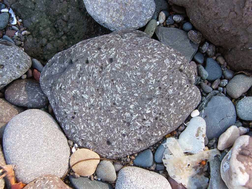
 The going was OK at first but it soon got rocky, especially
round headlands. And the tide was still
approaching. We looked up at the cliffs
— there was no way we could have scaled them.
We met no one, but we knew people had been there before us because we
came across a driftwood sculpture on the sand.
The going was OK at first but it soon got rocky, especially
round headlands. And the tide was still
approaching. We looked up at the cliffs
— there was no way we could have scaled them.
We met no one, but we knew people had been there before us because we
came across a driftwood sculpture on the sand.
Location: Ayr to Maidens.
Distance: 16 miles.
Total distance: 2757 miles.
Terrain: Long sandy beaches. A rocky beach which was tricky and slowed us down. Paths around fields and through woods. Through the formal gardens of a castle! And a little road-walking. Much of the Walk was flat, but some was undulating.
Tide: Out, then it came in.
Rivers: No.339, River Ayr. No. 340, River Doon.
Ferries: None.
Piers: None.
Kissing gates: No.230, no.231 and no.232 on the path through fields just out of Dunure.
Pubs: “West Kirk” (Weatherspoons) in Ayr — it is an old church, and the toilets are up behind the pulpit! We had lunch there on one of our ‘rest’ days. Colin drank Moorhouse’s “Old Boss”, and I had Erdinger Weissbier. “Glen Park Hotel” in Ayr. (Colin went by himself on a ‘rest’ day.) He drank “Leezie Lundie”, “Jolly Beggars” and “Towzie Tyke” — all Ayr brewery beers. “Wellington’s Bar” in Ayr where there is a large wellington boot outside on the pavement which we walked right by and didn’t see! We had a pub lunch there on another of our ‘rest’ days — Colin drank Strathaven “Old Mortality 80/-” and I drank Magner’s cider.
‘Historic Scotland’ properties: No.30. Crossraguel Abbey which we visited on another day.
Ferris wheels: None.
Diversions: None.
How we got there and back: We were staying in our caravan on a site in Ayr. This morning Colin drove to Maidens where he parked the car and caught a bus back to Ayr. Meanwhile I walked along the river to meet him at the bridge where we finished the last Walk.
At the end we walked across a playing field to the layby where the car was parked. After having our tea, we drove back to the caravan in Ayr.

It did, it led us to a sewage works! But we were able to skirt round it and found ourselves on a golf course. I wanted to go back because we seemed to have completely lost the Ayrshire Coastal Path, but Colin was a bit further on than me, picking our way round their precious greens, and he spied a post over the top of a bush. This post was on the beach, and had arrows pointing in both directions with the Ayrshire Coastal Path logo. So we should have stayed on that slippery beach all the time! We stepped over a low fence, scrabbled down a little bank, and we were on a sandy beach once again.


We came to a wall built of beach rocks, significant only because it was a field boundary. We thought, when we first saw it in the distance, it might be the wall of Danure Harbour, but a quick look at the map made us realise that even that goal was another two miles further on. We had to make decisions, we couldn’t go on like this. Colin reccied a grass mound behind a big rock and reckoned, though dodgy, it was easier than the beach. We were both fed up with rock-jumping, so we climbed up there to give it a go. Some curious cows came near to stare, then suddenly they all ran away.


Ayrshire Coastal Path
TIDAL WARNING
FOR WALKERS
For tidal areas 1 hour
north & south of Danure
check Harbour Ladder
in SW corner.
On a rising tide, if rung 10 is covered
there is a 3-4 hour delay.
At high water, if rung 6 is covered
there is a 2 hour delay.
Route best walked on a falling tide.


As we neared the castle the beach began to get stony, though not difficult to walk. We rounded one rocky promontory, then came across a hidden bungalow with grass in front of it. We noticed a path over a small bridge just past the building, so we climbed up and found there was a lovely path through the woods at the bottom of the cliff. This path was much better than the beach which had become quite rocky and seaweedy. It took us behind the next little promontory, then down to the beach momentarily.


Crossraguel Abbey


No comments:
Post a Comment